Advisory Archive

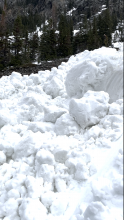
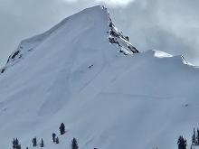
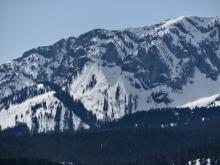
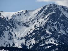
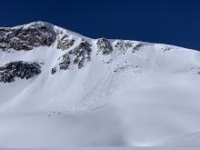
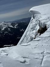
Spring weather can be highly variable and create a mix of avalanche problems to watch for. Snow conditions and snow stability can change drastically from day to day or hour to hour. Anticipate rapid change and plan accordingly. Plenty of snowfall over the winter with more spring snow to come makes avalanches possible into summer.


Since Thursday there has been a mix of snow and rain up to 8000’ with mostly snow above. Near Big Sky, Hyalite, Island Park and Cooke City received 8-15” of snow (0.9-1.9” snow water equivalent), and the Bridger Range and West Yellowstone got 2-4” (0.5-0.7” SWE). Over the weekend temperatures reached mid-30s to low 40s F during the days, and dropped to low 30s F most nights. On Saturday wind shifted to the east with gusts to 25 mph, and yesterday backed to westerly at 5-15 mph.
This morning, temperatures are 20s to low 30s F, and wind is west-southwest at 5-15 mph. Temperatures will reach high 30s to mid-40s F today, and drop to teens F overnight. The next few days temperatures will reach low 30s F with overnight lows in the teens F. This afternoon wind will increase to 15-25 mph with gusts of 30-40 mph out of the west-southwest. Snow showers tonight could drop 1-3” by morning. More snow showers tomorrow evening through Thursday could drop up to a foot of snow in the mountains near Bozeman, Big Sky, and Cooke City with 1-3” near West Yellowstone and Island Park. Next weekend, wet spring weather looks to continue with temperatures warming back to 30s and 40s F.


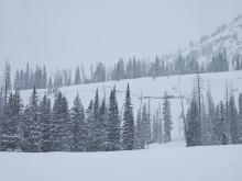
Prior to yesterday, the mountains had not received any snow since last Thursday. This week was mostly sunny with daytime temperatures reaching 40s and 50s F the last few days, and cooler cloudy weather arrived yesterday. This morning the mountains near Big Sky, Cooke City, and Hyalite have 4-6” of new snow with 2-3” near Island Park and none elsewhere. Temperatures are high 20s to mid-30s F, and wind is out of the west-northwest at 5-10 mph.
This weekend, daytime high temperatures will reach high 30s to low 40s F, and overnight lows will be high 20s to low 30s F. Wind will be northeast-east at 5-15 mph today, then shift to east at 15-25 mph tomorrow morning, and back to northwest-west on Sunday. Through the weekend snow is expected at higher elevations with the rain/snow line somewhere between 6500’ and 8000’. Showers later today and tonight will favor Big Sky and Cooke City with 5-8”, and elsewhere could get 2-3” by tomorrow morning, with a few more inches possible through the weekend.


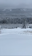
Since Friday, there has been a mix of sun and clouds with no significant precipitation. Temperatures have generally been above freezing during the day and below freezing at night. On Monday morning, temperatures are in the teens to 20s F, with 10-20 mph winds from the west to northwest.
This week, peak high temperatures in the 40s to low 60s F will be on Wednesday, with the warmest temperatures occurring in the mountains around Bozeman and Big Sky. In many areas, nighttime lows will be above freezing. Temperatures will cool again on Thursday, with a mix of rain and snow beginning Wednesday night.


Since Monday, there’s been a mix of sun and clouds and rain and snow (depending on elevation). A storm on Tuesday and Wednesday brought over a foot of snow to the northern Gallatin and Madison Ranges, with 9-10” across much of the rest of the advisory area and around 3” near West Yellowstone and Island Park. High temperatures have been in the 20s and 30s F with lows in the single digits and teens F. Winds have been variable, shifting around the compass.
Expect mostly sunny skies and increasingly warm temperatures over the next couple days with highs in the 30s F today, 40s F tomorrow, and 50s F on Sunday. It may snow and/or rain on Sunday, but don’t expect much accumulation.

On Monday morning, mountain temperatures are in the 20s F at upper elevations near Island Park and Cooke City and in the 30s to low-40s F across the rest of the advisory area. Winds are all over the map, blowing 5-15 mph from the south, west, and north. It is raining in Bozeman, Big Sky, West Yellowstone and Island Park, with 1-2” of snow at higher elevations in Island Park and Cooke City.
Well above-freezing temperatures will continue Monday and Tuesday, with a mix of rain, snow, and sun. A winter storm arrives on Tuesday night. Temperatures will cool to below freezing. Winds will be from the west to the northwest. Storm totals will be 10-15” near Cooke City, 8-12” near Bozeman and Big Sky and 5-10” in West Yellowstone and Island Park by the time snow tapers off on Thursday.
This morning temperatures are low 30s to mid-40s F with high 20s to mid-30s F near Cooke City. Wind is out of the south-southwest at 5-10 mph with gusts of 15-25 mph. There is no new snow. Today, under mostly sunny skies, temperatures will reach high 40s to low 60s F, and wind will be 5-10 mph from various directions. Clouds will increase tonight, and in some places skies might cloud up this afternoon. There is a chance for rain tonight and tomorrow, turning to chances for snow late tomorrow into Tuesday.


Skies are blue and there is no new snow. Mountain temperatures are in the 30s and 40s F this morning. Winds are out of the southwest and west at 10-20 mph with 30-50 mph gusts. High temperatures today will be a few degrees warmer than yesterday, reaching well into the 50s F in many mountain areas. Winds will be 10-15 mph out of the southwest. Today will be mostly sunny, with chances for some thundershowers this afternoon, but no significant precipitation expected.
Mountain temperatures this morning are in the mid-30s, having not dropped below freezing overnight. There is no new snow. Winds are out of the southwest and west at 10-15 mph around Bozeman, Big Sky, and Cooke City and 25-40 mph with 45 mph gusts around Island Park and West Yellowstone. High temperatures today will be in the 40s and 50s F. Moderate to strong southwest and west winds will continue. Clouds may move in this afternoon with the chance for some snow/rain showers and maybe some thunder as well.

Mountain temperatures are in the 20s to low 30s F this morning, with 5-15 mph wind from the west to southwest, and there is no new snow. Today, temperatures will be in the 40s to low 50s F under mostly sunny skies. Winds will be 5-15 mph from the west to southwest.