Photos
|
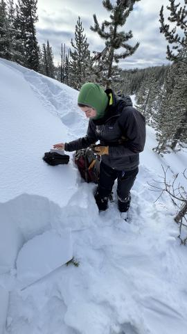
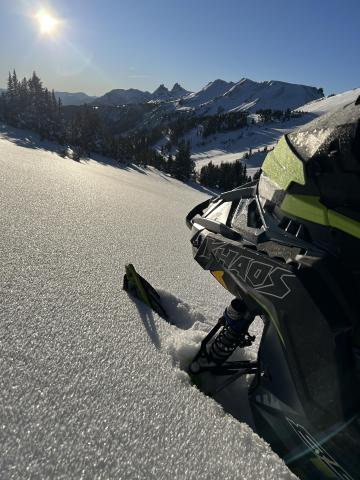
Island Park, 2024-12-09 We are grateful for our partnership with the Friends of the Gallatin National Forest Avalanche Center. It is always a good time to get out in the field with our education coordinator, Shannon. Photo: GNFAC |
|
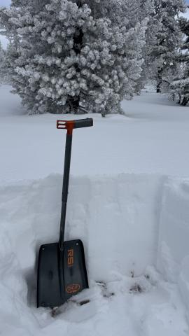
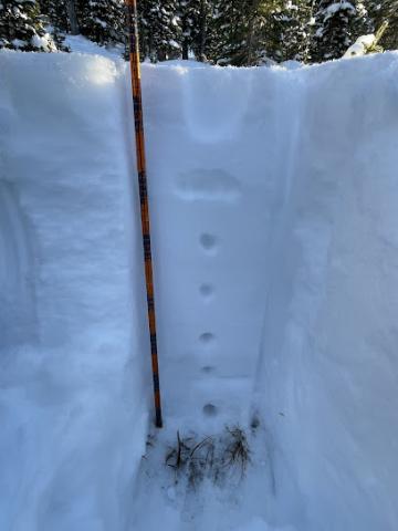
Island Park, 2024-12-09 The snow depth was 60-70 cm (2-2.5 feet) at the upper elevations of the Big Springs Loop around the Black Canyon area in Island Park. Photo: GNFAC |

|
Island Park, 2024-12-09 Surface hoar and near surface facets are now capped by this weekend's snow. The layers are buried 2-4" deep in the Black Canyon area of Island Park. Photo: GNFAC |
|
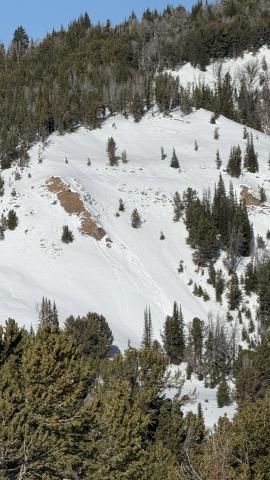
Northern Madison, 2024-12-04 A small loose-wet avalanche on a S facing aspect on Eglise Rock was observed that likely broke in the last day or two. Photo: GNFAC 12/4/2024 Link to Avalanche Details |
|
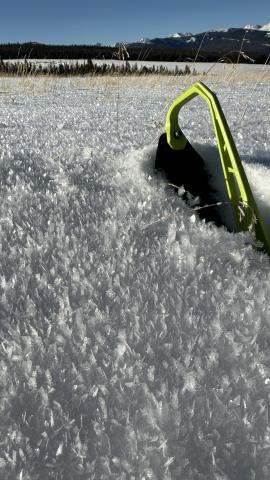
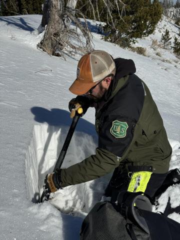
Southern Madison, 2024-12-04 Surface hoar in Taylor Fork |
|
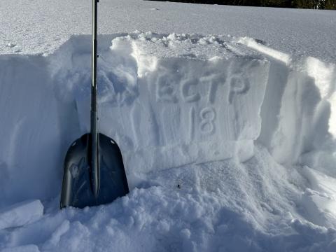
Southern Madison, 2024-12-03 We got propagating test score in a 60 cm deep snowpit at the edge of Sunlight Basin (ECTP18 @ 22 cm) and at the Wilderness Boundary in a 49 cm deep pit (ECTP14 @14 cm). Photo: GNFAC |
|
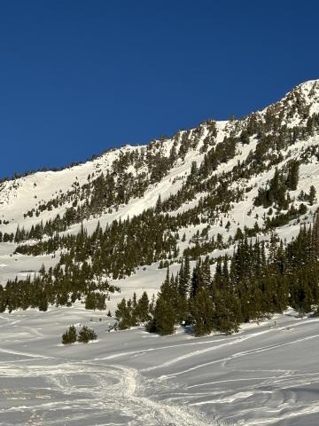
Cooke City, 2024-12-03 Snowpack on Henderson Bench on NE facing slope |
|
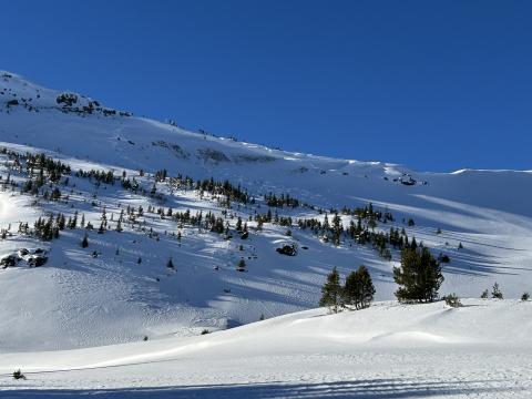
Cooke City, 2024-12-03 Wet Loose avalanche at Lulu on South facing slope Link to Avalanche Details |
|
Cooke City, 2024-12-03 Old wind slab avalanche on Henderson that likely failed on old facets near the ground after heavy wind loading. NE facing at about 10,100 ft. Link to Avalanche Details |
|
Cooke City, 2024-12-03 1cm surf hoar at Lulu |
|
Cooke City, 2024-12-02 "At 9410ft, NNW aspect, 10 degree slope, we found HS 75cm. The general structure seems right side up. There are facets at the bottom 20cm or so, but they are wet, and seem to be rounding. An ECT gave us ECTN20 at 40cm down." Photo: N. Mattes |
|
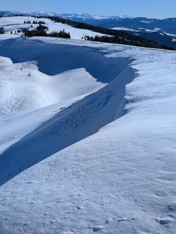
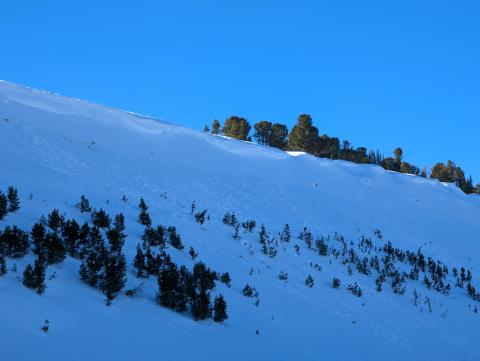
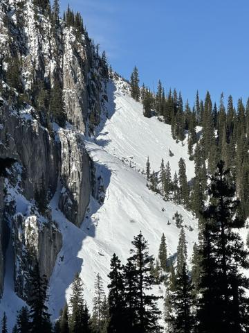
Northern Madison, 2024-12-02 The head of Beaver Creek was scoured nearly to dirt and the cornice is quite large there already. We noted one small wind slab avalanche just below it. We found a similar avalanche in Second Yellowmule that again appeared to be from wind loading. Both appeared to be several days old. Photo: USFS Bozeman Snow Rangers Link to Avalanche Details |
|
Bridger Range, 2024-12-02 Skiers north of Bridger Bowl Ski Area noted that solar aspects (south-facing) were beginning to shed and there were a number of wet loose avalanches. Photo: E. Heiman |
|
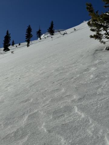
Bridger Range, 2024-12-02 Wind-rippled snow surface near the top of Slushman's Lift. Photo: GNFAC |
|
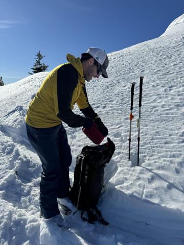
Bridger Range, 2024-12-02 Mark investigates a thin and weakening snowpack. Despite air temperatures near 40 degrees F mid-day on Monday, the snow surface was 21 degrees F. These large temperature gradients will drive rapid faceting. Photo: GNFAC |
|
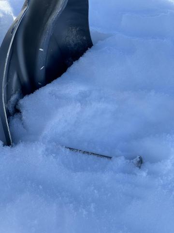
Bridger Range, 2024-12-02 Despite air temperatures near 40 degrees F on Monday, the snow surface was 21 degrees F. These large temperature gradients will drive rapid faceting. Photo: GNFAC |
|
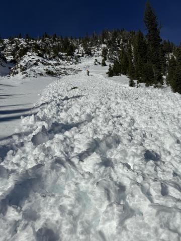
Bridger Range, 2024-12-02 The runout of a wet snow avalanche that occurred on Sunday. This is a rocky, south-facing run. Photo: GNFAC Link to Avalanche Details |
|
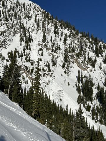
Bridger Range, 2024-12-02 On Sunday, there was an R2-D2 wet snow avalanche out of the run Close Call (see photo). This is a rocky, south-facing run. Photo: GNFAC Link to Avalanche Details |

|
Bridger Range, 2024-12-02 A decent sized loose/ wet D1.5 came down between laps (probably 1300) in what i believe is called gangstas. South facing, steep, thin and rocky. Photo: A. Newman Link to Avalanche Details |
