Photos
|
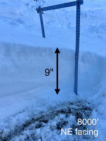
Bridger Range, 2024-11-08 At 8000' just below the Sacajawea trail bowl, there is about 9" of snow.
|
|
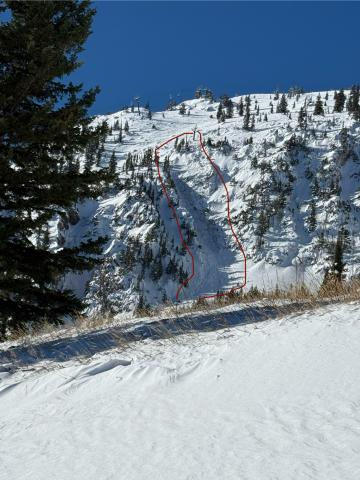
Bridger Range, 2024-11-08 From obs: "On 20241107 I observed a small natural avalanche from the top of the PK lift at Bridger Bowl. The slide occurred near the Slushman’s lift on a NNE aspect. It started as a small release in the upper start zone and entrained much of the snow in the couloir down to the ground. L-N-D1.5- G... It was a relatively small slide but had enough power to carry a skier or rider through some very nasty terrain. Similar aspect and elevation to the Super Couloir slide." Photo: P. Crockard Link to Avalanche Details |
|
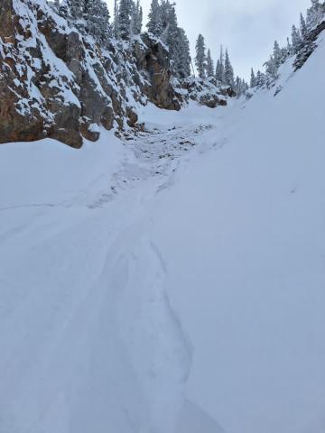
Bridger Range, 2024-11-06 "Skier triggered Pocket in super couloir. Wasn't very unexpected, the skiers left side felt a little slabbier than the skiers right and tried to stay off. Triggered going over a sharky rock spot, not very fast moving and easy to ski out of. Snow depth was 2-2.5 feet." Photo: Anonymous Link to Avalanche Details |
|
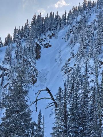
Bridger Range, 2024-11-06 Skiers spotted a skier-triggered avalanche from a distance. Photo: R. Cigler Link to Avalanche Details |
|
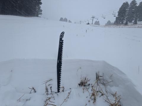
Bridger Range, 2024-11-05 Snowpit at Bridger Bowl on 11/5. Photo: B. VandenBos |
|
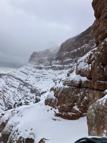
Southern Madison, 2024-11-05 Photo: S. Bonucci Link to Avalanche Details |
|
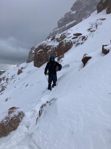
Southern Madison, 2024-11-05 From obs.: "Triggered a small wind slab: -9600' -N aspect on the NW ridge of Sphinx Mountain -Strong SW wind -Noticed oth er small crowns, likely triggered from another party traversing the north-facing bowl at similar elevations" Photo: S. Bonucci Link to Avalanche Details |
|
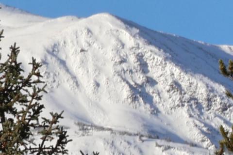
Out of Advisory Area, 2024-11-04 Avalanche observed on Chico Baldy above Mill Creek in Paradise Valley. East aspect at about 9400'. Possibly a wind slab but hard to tell Link to Avalanche Details |
|
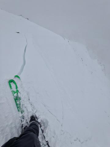
Northern Gallatin, 2024-11-04 From e-mail: "Photo attached from near top of hyalite peak, 11/2. Cracking in recent hard wind slab, I had to really jump hard to make this. Walked on many other hard slabs that were well bonded. Highly variable snowpack. I think you'd be most likely to get into trouble by popping out a small hard slab pocket like this and getting magic carpeted into some thinly covered terrain." Photo: B. VandenBos |
|
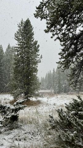
Northern Gallatin, 2024-11-02 An intense period of snowfall on October 28 dropped 6” of snow in the Hyalite Canyon area. Photo: GNFAC |
|
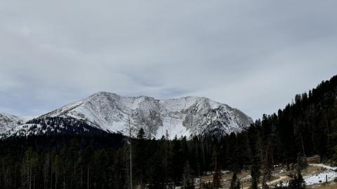
Bridger Range, 2024-11-02 The high peaks of the Bridger Range are holding snow from storm to storm. This will likely make up the foundation of the season’s snow pack. Photo: GNFAC |
|
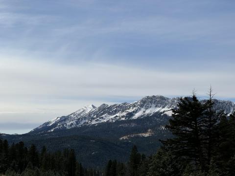
Bridger Range, 2024-11-02 The high peaks of the Bridger Range are holding snow from storm to storm. This will likely make up the foundation of the season’s snow pack. Photo: GNFAC |
|
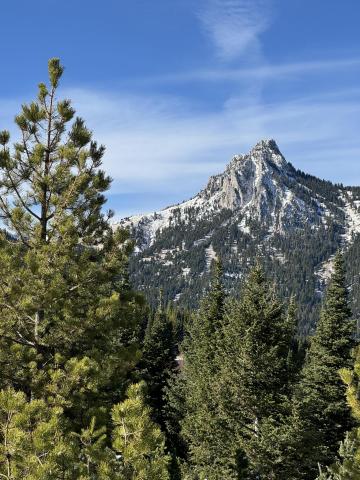
Bridger Range, 2024-11-02 The high peaks of the Bridger Range are holding snow from storm to storm. This will likely make up the foundation of the season’s snow pack. Photo: GNFAC |
|
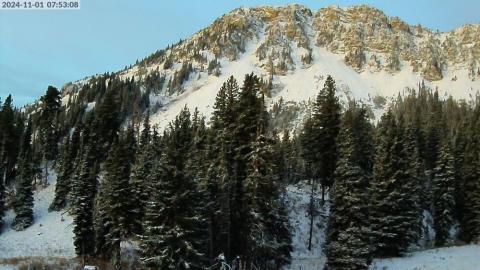
Bridger Range, 2024-11-02 Screenshots of webcams throughout the forecast area show new snow and snow cover on November 1. |
|
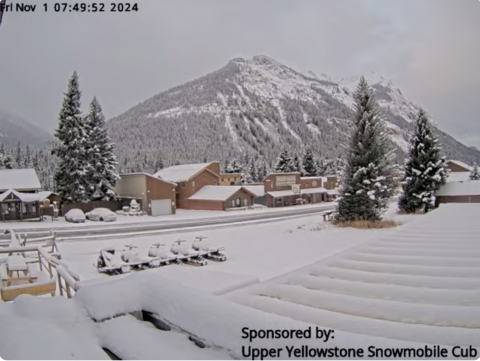
Cooke City, 2024-11-02 Screenshots of webcams throughout the forecast area show new snow and snow cover on November 1.
|
|
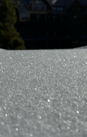
Northern Madison, 2024-10-31 From obs: "1-3 mm faceting in front of the Montage. Clear skys and mid 20 temps" |
|
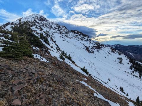
Northern Gallatin, 2024-10-22 A hiker on Mt. Blackmore noted 5-10 inches of snow on east through north aspects. Photo: B. VandenBos |
|
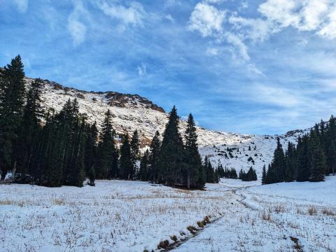
Northern Gallatin, 2024-10-22 A hiker on Mt. Blackmore noted 5-10 inches of snow on east through north aspects. Photo: B. VandenBos |
|
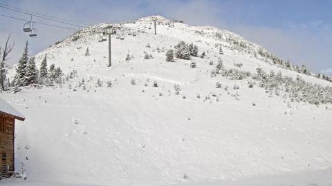
Northern Madison, 2024-10-18 On October 17, rain turned to snow and blanketed the mountains of southwest Montana with a fresh coat of snow. Photo: Yellowstone Club Webcam |
|
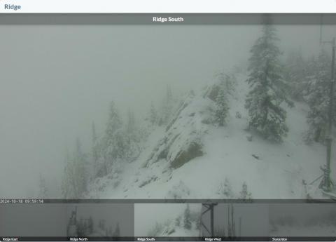
Bridger Range, 2024-10-18 On October 17, rain turned to snow and blanketed the mountains of southwest Montana with a fresh coat of snow. Photo: Bridger Bowl Webcams |
