Photos
|
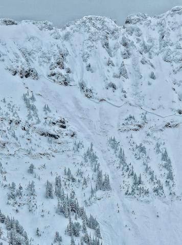
Cooke City, 2025-01-02 Rode out to Wolverine Pass on New Years Eve. Daisy pass is a little spicy for novices still. On approach to wolverine pass/YNP boundary we found HS 160cm on NE facing slope at 9200'. Found 3-4mm SH in tact at 110 cm deep. Found 1-2mm FC at 60cm deep. Ectn27 at storm interface layer 60 cm deep. No results on SH layer, but many collapses during the day assumed to be on this layer. Large D2-3 deep Slab avalanche seen on NW facing slope of Sunset Peak. Picture attached. Generally stable condions, but big avalanches on N,NE,NW facing slopes are a real concern for sure. Link to Avalanche Details |
|
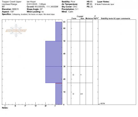
Lionhead Range, 2025-01-02 Trapper Creek Upper Profile - 1 Jan 2025 |
|
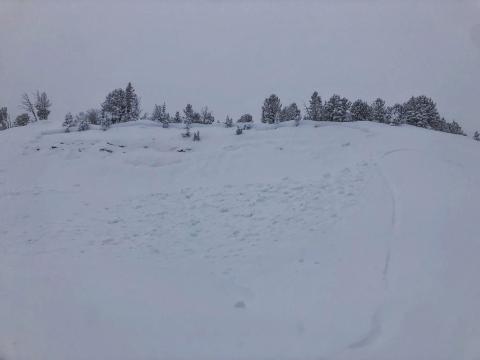
Northern Madison, 2025-01-02 Triggered slide in Beaver Creek 1 Jan 2024 Link to Avalanche Details |
|
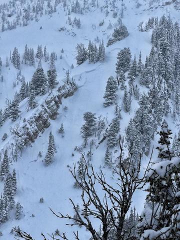
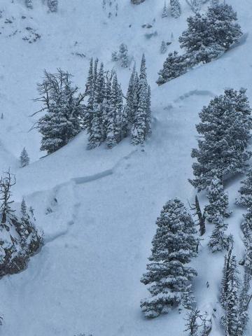
Bridger Range, 2025-01-02 Overview photo E facing storm slab N Bridgers 1 Jan 2024 Link to Avalanche Details |
|
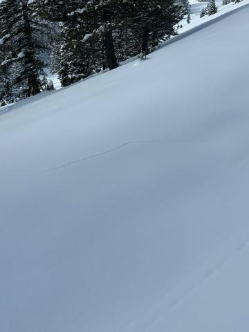
Bridger Range, 2025-01-02 E-facing storm slab N Bridgers 1 Jan 2024 Link to Avalanche Details |
|
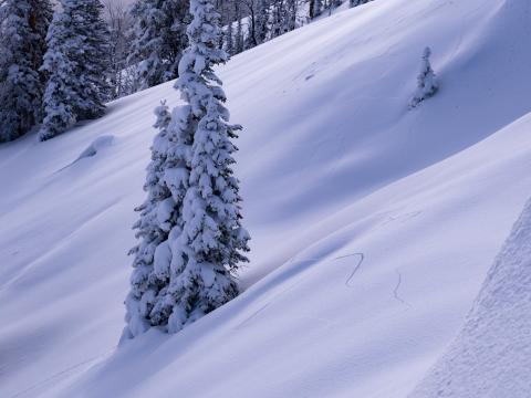
Lionhead Range, 2025-01-01 Settling and collapsing on E-NE slopes above Hebgen. Full slope collapses and cracks, approximately 28 degree slope pictured. Photo: C Koch |
|
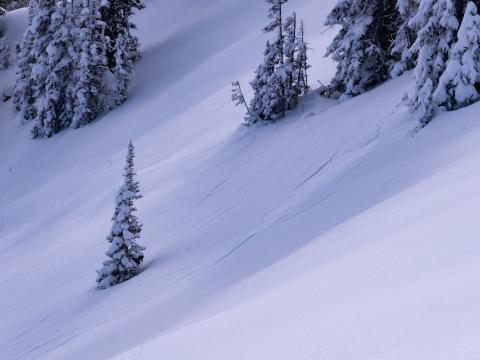
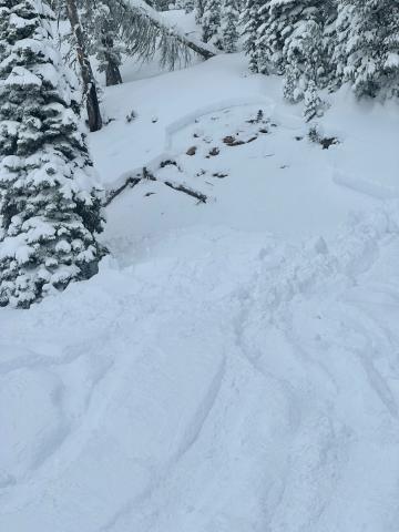
Lionhead Range, 2025-01-01 While touring up a low-angle ridge in the northern Lionhead, I experienced several large collapses, notably one that triggered a cornice fall from 50’ away. Another remote collapse caused about 500’ of an E facing bowl to propagate, but not slide. ~9200’ E-SE Photo: N Sramek |
|
Southern Madison, 2025-01-01 A snowmobile triggered a small persistent slab avalanche in the Taylor Fork on Tuesday. The rider was not caught. Photo: O. El-Zaru Link to Avalanche Details |
|
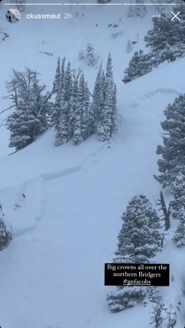
Bridger Range, 2025-01-01 There were many large storm slab avalanches in the northern Bridgers on Monday and Tuesday during the avalanche warning. Photo: C Kussmaul |
|
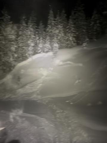
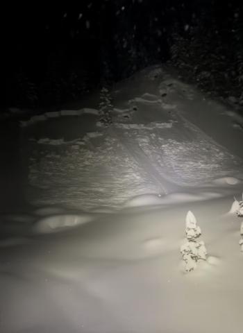
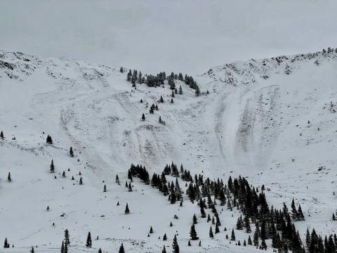
Northern Gallatin, 2025-01-01 Around 7 p.m. Monday night, a few miles up Portal Creek, triggered from bottom of slope. |
|
Northern Gallatin, 2025-01-01 Around 7 p.m. Monday night, a few miles up Portal Creek, triggered from bottom of slope. |
|
Lionhead Range, 2025-01-01 There was a natural avalanche on the landslide face above quake lake. The avalanche failed on a weak layers near the ground and broke several hundred feet wide. |
|
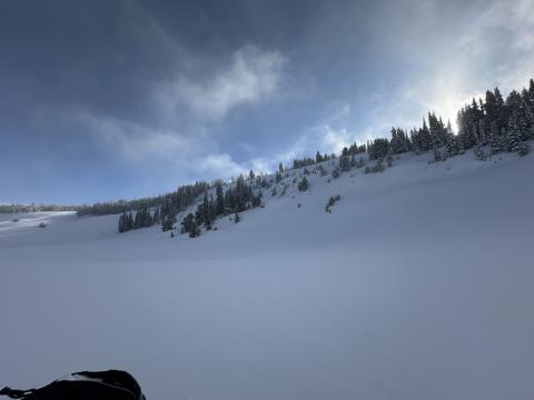
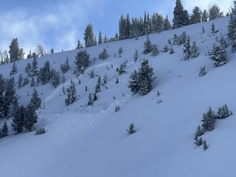
Northern Madison, 2025-01-01 Found a bigger pocket that had pulled out on steeper terrain in the 1st Yellow Mule no tracks around since we were the first in there. Photo: Anonymous Link to Avalanche Details |
|
Northern Madison, 2025-01-01 Found a bigger pocket that had pulled out on steeper terrain in the 1st Yellow Mule no tracks around since we were the first in there. Photo: Anonymous Link to Avalanche Details |
|
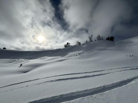
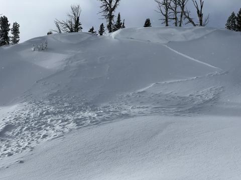
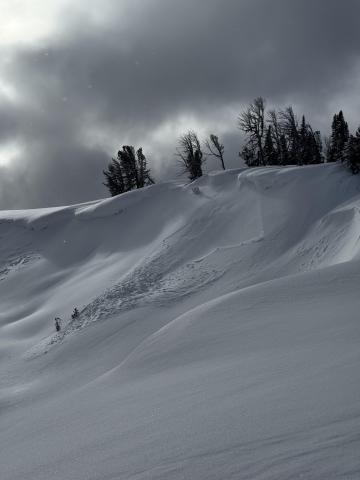
Northern Madison, 2025-01-01 Noticed a small 8-10” wind slab pocket on the way in, looked like storm load but could have been sled triggered from the top. Photo: Anonymous |
|
Northern Madison, 2025-01-01 Noticed a small 8-10” wind slab pocket on the way in, looked like storm load but could have been sled triggered from the top. Photo: Anonymous |
|
Northern Madison, 2025-01-01 Small avalanche NE aspect near top of beaver. D1 natural trigger wind slab. Only observed avalanche from groomer trail. Photo: Z Bailey Link to Avalanche Details |
|
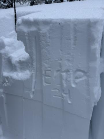
Bridger Range, 2024-12-31 Bottom of the Ramp, E aspect, 7900'. We found 24" of new snow which had nearly doubled the snowpack, leaving over five and half foot deep (HS 171) snowpack in this area. We got propagation (ECTP 24) at the storm snow interface. Photo: GNFAC |
|
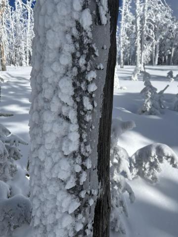
Island Park, 2024-12-31 Ice crust on trees from freezing rain last Saturday Dec 28 now covered by rime ice. |
